Back to search
- local
Unlocking History through Maps and Survey Plans
- - (AEST)
-
Chambers Pavilion, Australian Centre for Christianity and Culture
15 Blackall Street, Barton ACT 2600, Australia
Maps and survey plans contain a wealth of historical information if you know how to interpret them.
Jeff Brown, former Surveyor-General for the ACT, takes you on a historical journey through the maze of historical maps and survey plans produced in NSW and ACT since colonisation starting with Major Michell’s Map of the Colony (1834) and progressing through maps produced by state agencies and local governments.
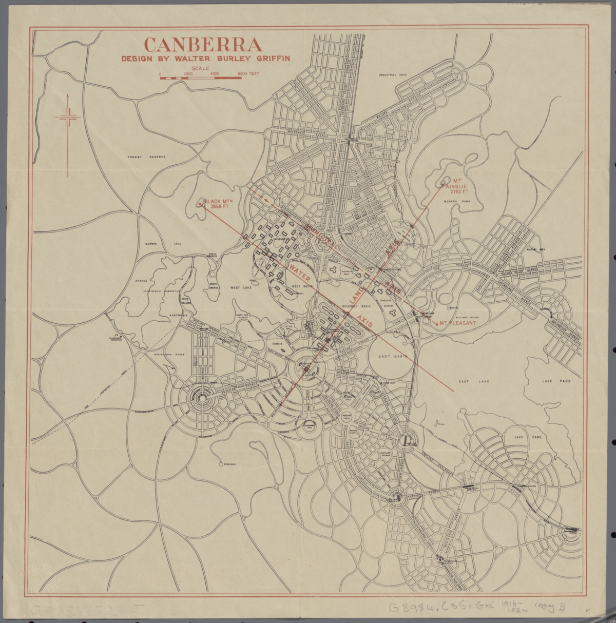
These include County Maps, Parish Maps, Valuer General Maps, Estate Sales Plans, Town Maps, Portion Plans, Federal Territory Feature Maps, 1918 Walter B. Griffin Plan, plans of Canberra Nomenclature and Topographic Maps.
Jeff will show some links to where many of these maps and plans can be found on-line.